Experience Aruba
like never before.
The world's first AI-powered smart island. Real-time beach conditions, hidden experiences, and personalized adventures — powered by Aruba's Digital Twin.
Why Aruba needs
a digital twin.
Tourism is changing. Today's visitor expects an island that listens, learns and responds — instantly. The Aruba Twin is the invisible layer that makes it possible.
Built for
everyone on the island.
The Aruba Twin is not a product — it's shared infrastructure benefiting visitors, residents, government and business alike.
Discover more, wait less.
- Personalized recommendations
- Avoid crowds automatically
- Real-time weather & UV alerts
- Instant booking of tours & tables
- Find parking & hidden gems
One island, distributed.
- Balance visitor flow across the island
- Increase spending in local businesses
- Reduce overcrowding & noise
- Support small entrepreneurs
- Anonymous, ethical tourism insights
Data-driven decisions.
- Live tourism command dashboard
- Infrastructure & traffic planning
- Environmental monitoring
- Emergency response coordination
- Economic impact tracking
The living
model of the island.
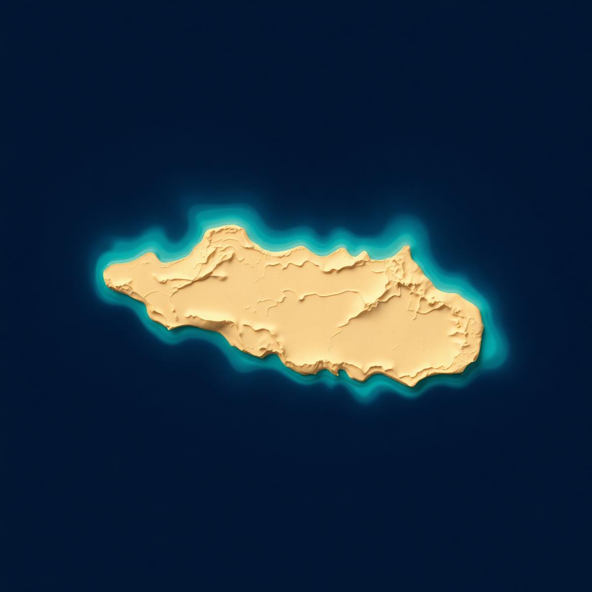
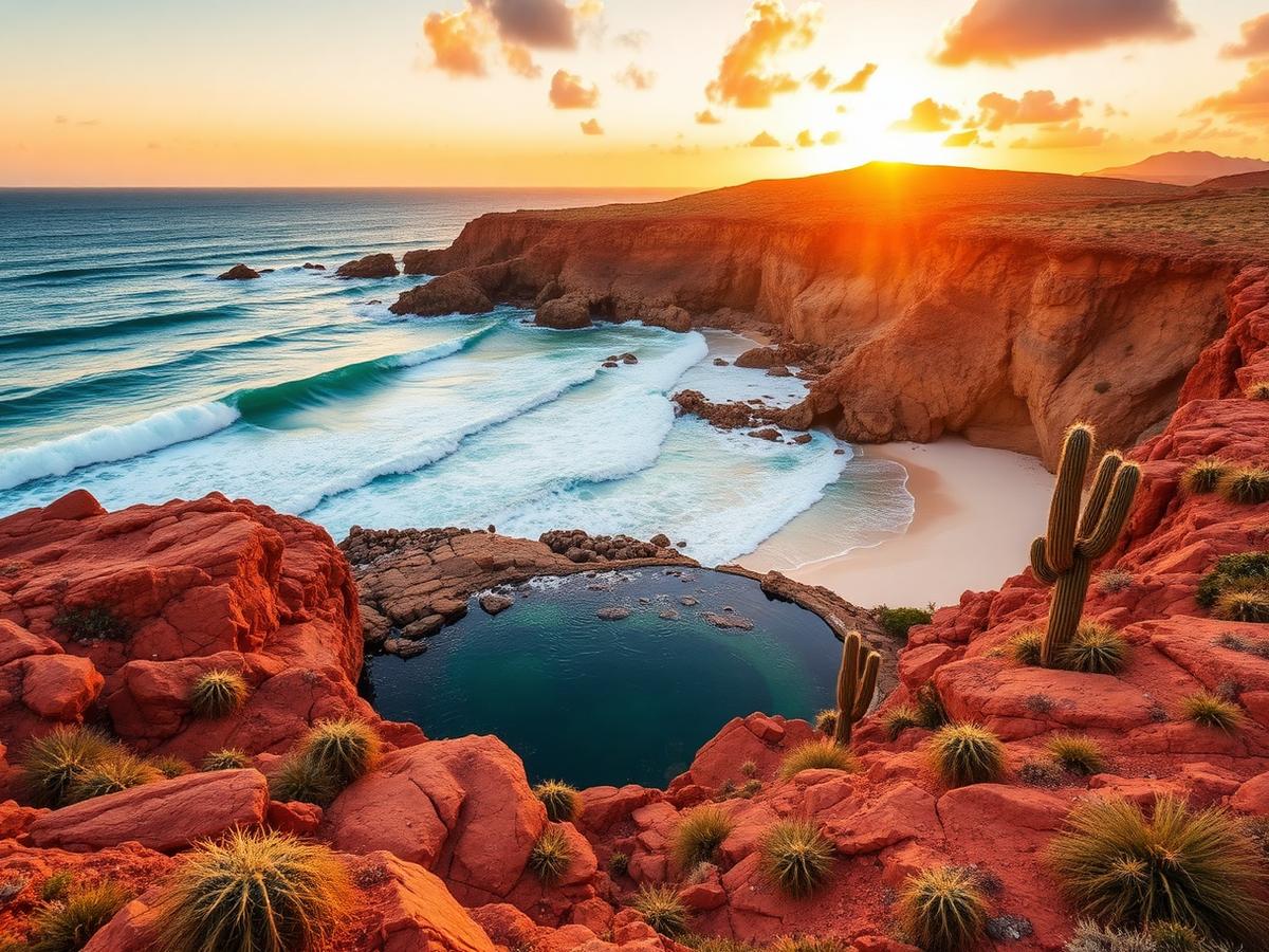
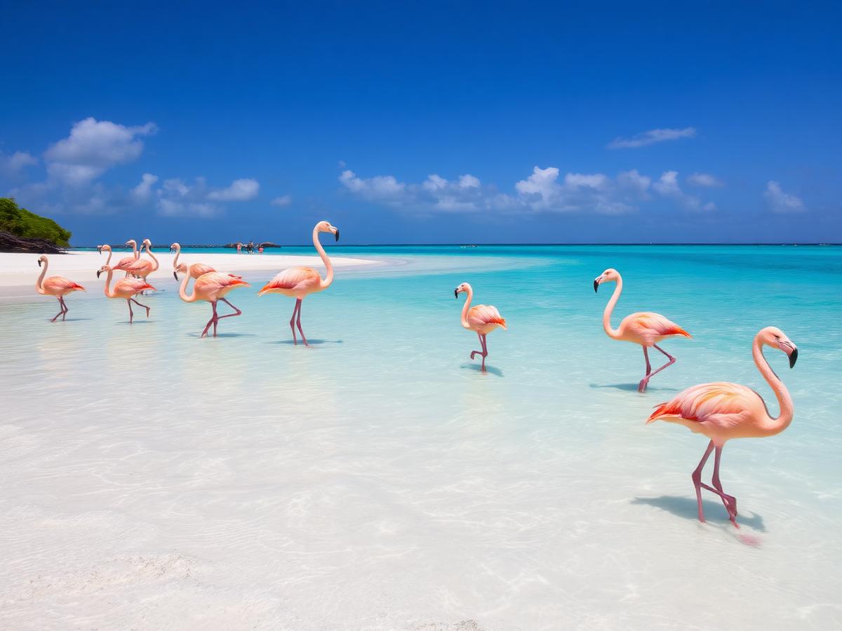
Every attraction glows with its current state — occupancy, weather, marine life, events, safety.

Six systems.
One island brain.
Know exactly where to go.
Live occupancy, water quality, wind, wave height and lifeguard status — updated every minute.
The perfect day, generated.
Tell the concierge how you feel. It builds an itinerary shaped by real-time conditions.
Skip the crowds tomorrow.
Predictive models forecast beach and attraction crowding hours in advance.
The twin learns you.
Every action refines your preferences — quietly, privately, on-device.
Live island vitals.
Water quality · UV · Wind · Waves · Air · Sargassum · Reef & turtle sensors.
Move any way you want.
Walking · scooter · car · public transit · catamaran · drone imagery overlays.
Every visitor.
Better distributed.
The average visitor spends $180 per day. When the twin steers them toward underused corners of the island, that spending compounds — illustrative projections from pilot models.
Ask anything.
Get the perfect answer.
The concierge speaks English, Dutch, Spanish and Papiamento. It sees live conditions, your calendar and preferences — then quietly assembles the ideal plan.
Based on current conditions, Mangel Halto has excellent snorkeling today. Only 18% occupancy.
The twin protects
what makes Aruba, Aruba.
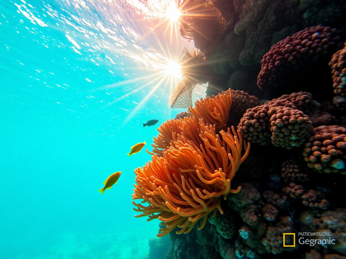
Continuous monitoring of coral reefs, sea turtle nesting, beach erosion, waste, crowding and protected areas — with automatic alerts when thresholds are reached.
The smartest island
in the Caribbean.
Step onto Aruba's Digital Twin. See what your day could be.